The Studio Develops the Project Vision, Mission & Goals

We started our 8th week of classes with our first professional review. In the midst of virtual learning, we decided to present using google slides to prevent lag time over zoom. As a studio, we have continually been exploring new platforms that are the most efficient for virtual learning. We presented all of our findings during the review which included inventory, cross mapping, analysis, case studies, and our first pass at the vision and mission statement. After receiving strong feedback on how to move forward, we feel confident in our approach.

Screen Shot 2020-10-23 at 11.17.25 AM.png

Our main focus is now revising our Vision & Mission statement, which means making it more structured and relevant without being too specific to allow for some flexibility as we continue the project. We also developed more project specific goals for our site, such as Industrial goals, public realm goals, and ecological goals. Although it is not finalized, we feel like we are pushing these ideas in the right direction.

Screen Shot 2020-10-23 at 11.18.55 AM.png

As we mentioned in past blog posts, a big portion of our mapping is cross mapping, which is when you compare 2 or more maps to develop a new conclusion from the overlaid information. So far, we have only overlaid our inventory maps. After our review, we decided that it was important to also include our analytical maps. Some of the topics we are looking into are: how to reduce stormwater runoff by looking at areas of flooding and the lowest topographical areas on the maps, the comparison of private investment areas with future plans of the city, looking at the levee trail environmental conditions, potential sites for access to the levee trail, and how to mediate brownfield pollution. By comparing our analytical maps with some of our maps from inventory, we can draw conclusions about our site that will influence our overall masterplan when we get to that point.

LOW POINTS & GREEN INFRASTRUCTURE-01.jpg
Flooding v. Brownfields-01.jpg

The other exciting development in studio is that we are starting to lay out the programming book. This book will include all of our work and findings for the entire semester. The first step towards its creation is outlining our information and cutting out whatever is not relevant. There are a few different approaches to do this— first, we could completely eliminate maps that we feel do not pertain to the overall goals. Alternatively, we could use those maps for cross mapping and try to draw conclusions from them that would ultimately help us meet our goals. I think that in the end, there will be a mixture of these strategies as we have over 300 maps and are still producing more. We are excited to see how the project continues to develop… happy midterms!

Inventory & Analysis of KCK

As you know from our last post, we have been doing extensive inventory mapping. One of the latest discoveries has been Commuter Travel information in and out of our site. The graphics and data below present these findings at our 3 different site scales. This information was a great asset to our compilation of research and is just one of the many supporting sets of data that we will refer to as we continue in the next phase of Analysis. 

After collecting these inventory maps, we were able to cross map all of our findings. When overlaid with each other and in different combinations we came across four main themes: patterns of the city and it’s disconnection, identity of the city, vacancy and river access and the potential relationships, and quality of life.

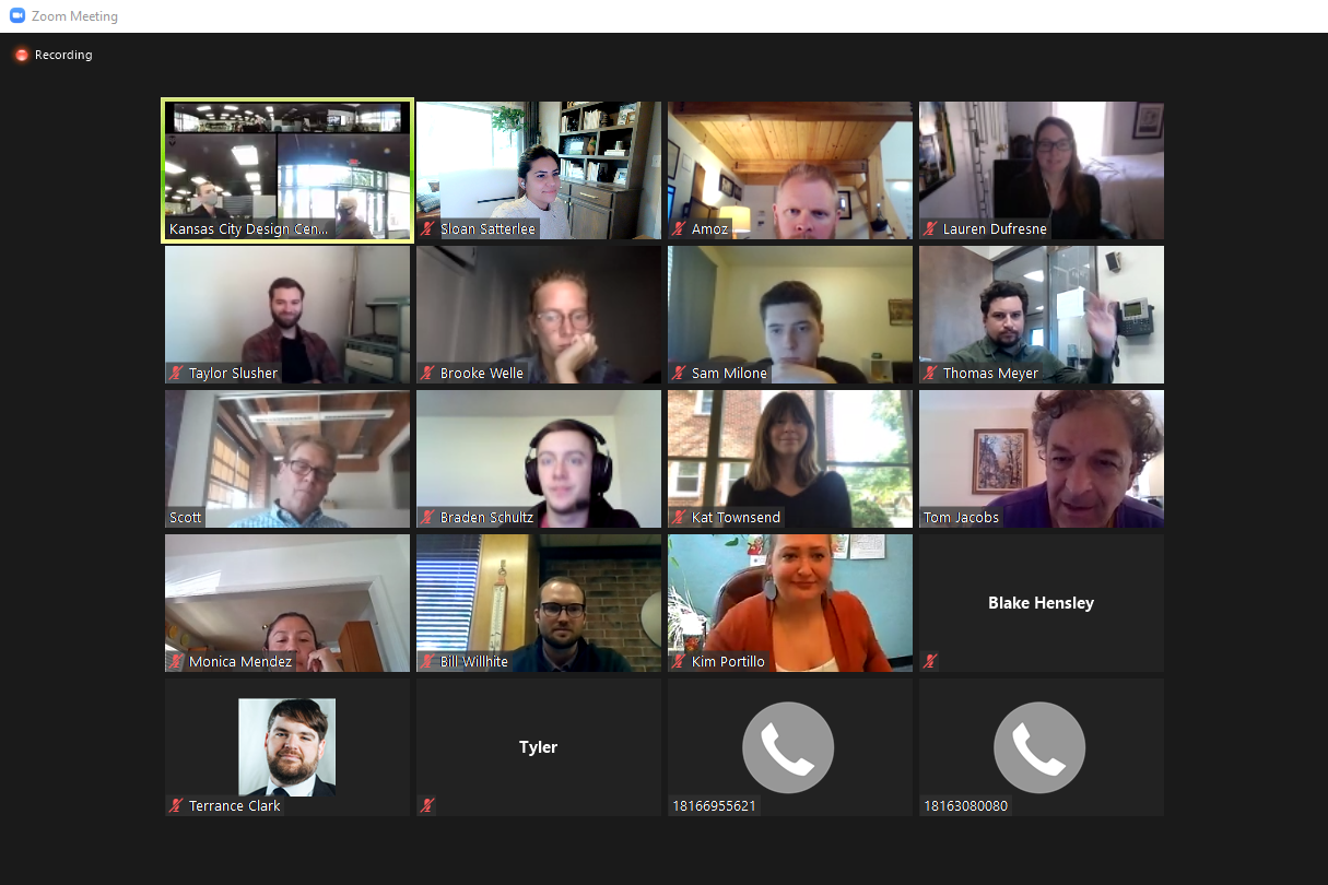
We were able to present all these findings this past Friday in our first presentation to our Project Advisory Group!  We would like to thank the following for attending and providing feedback, additional insight, and continued resources:

Troy Shaw                     UG Public Works
Monica Mendez            UG Parks & Rec, Exec Director Armourdale Renewal Assoc
Angel Obert                  UG Parks & Rec, Assistant Director
Bill Wilhite                    Premier Investments
Kim Portillo                  UG Planning Dept.
Thomas Meyer              Americor Member & KSU RCP Grad
Blake Hensely               UG Health Dept
Bruce Holloway             Historic West Bottoms, Board Member
Scott Brown                  Historic West Bottoms, Board Member
Tom Jacobs                   Mid America Regional Council
Scott Mensing               Army Corps of Engineers, Program Manager

Zoom_Presentation w Advisory Board.PNG
Image (5).jpeg

One of our advisory members also informed us of a neighborhood meeting for the Armourdale area that will take place later this month.  We look forward to attending and asking the residents questions about their priorities and concerns for the area.  It will be a great opportunity to engage with the community in which we are designing for.

Now that we are deep into the second phase of our project, the analytical phase, we have a variety of maps that begin to show our findings of Environmental and Physical factors.  This has been everything from ground cover, heat islands, and pollution, to river front accessibility, significant spaces, and disconnections.  We are continuing to develop this collection of analytical maps as well as a few additional ones as suggested by our Advisory group members, such as homelessness, wildlife, hydrodynamics, and even smell mapping! Stay tuned to see more of our findings.

As you may have seen on our Instagram, we utilize Conceptboard as a primary source of collaboration during these times of mixed placement and remote working within the studio.  It has worked very well for us and is great for storyboarding, review and markups, and just day to day “pin-up” presentations or discussions!  Be sure to keep following along with our stories to see more behind the scenes of our process.  (@kcdesigncenter)

Concept Board 1.png


Getting started in KCK!

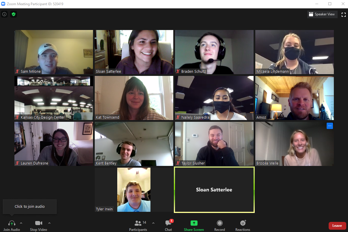
The Kansas City Design Center is excited to share the beginnings of the 2020-2021 school year! Our project is focusing on establishing a connection between Kansas City, Kansas and Kansas City, Missouri, which are currently divided by the Kansas River, extensive rail yards and major rail ways, and a complex, interweaving system of interstates.  We are 12 students strong this year, connected virtually through a number of platforms that make it possible for us to be physically distant but socially and academically linked.  We come mainly from Kansas and Missouri, but we also have a colleague joining us from Arkansas!

Class Zoom Photo_Fall Semester 2020.PNG

            We are a month into the semester and have been working hard to identify and analyze site conditions, demographic trends, historical events, existing initiatives, and regulatory uses.  Generating these maps and diagrams, studying precedents, and visiting the site have kept us busy and focused.  Our site visit began at Kaw Point Park, where there is access to the river and a great view of downtown KCMO.  From there, we made several stops as we headed to the southern end of the site, including Strawberry Hill, the Riverfront Trail, and the Central Avenue bridge. 

Kaw Point.JPG
Riverfront Trail.JPG
Central Ave Bridge.JPG

Although many of us are from the Kansas City area, only few had been to and had knowledge about our site.  Thankfully, our partners at HNTB and the Wyandotte County - Kansas City, Kansas Unified Government, as well as other prominent stakeholders in the community have shared information, experiences and current plans to help us understand the site and develop maps and diagrams to further analyze its conditions.

History River Map.jpg
Morphology Site Sections.jpg
Initiatives Diagram.jpg

Our next step is to wrap up the inventory phase by drawing conclusions from overlays of these maps and discussing our findings.  We have also begun diving into environmental and physical conditions of the site.  In these groups, we will explore noise and air pollution, brownfield sites, experiential spaces and viewsheds.  These types of mapping will further aid us in our comprehension of the site and its surroundings and better inform our design ideas and decisions down the road.

Air Pollution.jpg
Viewsheds.jpg

We hope you’ll continue to follow our journey via monthly updates, our social media (@kcdesigncenter), and eventually public meetings!  The Kansas City Design Center students and staff are excited to learn about this unique site and connect with our city!