Inventory & Analysis of KCK
As you know from our last post, we have been doing extensive inventory mapping. One of the latest discoveries has been Commuter Travel information in and out of our site. The graphics and data below present these findings at our 3 different site scales. This information was a great asset to our compilation of research and is just one of the many supporting sets of data that we will refer to as we continue in the next phase of Analysis.
After collecting these inventory maps, we were able to cross map all of our findings. When overlaid with each other and in different combinations we came across four main themes: patterns of the city and it’s disconnection, identity of the city, vacancy and river access and the potential relationships, and quality of life.
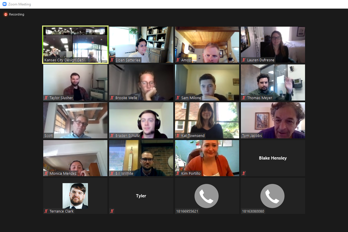
We were able to present all these findings this past Friday in our first presentation to our Project Advisory Group! We would like to thank the following for attending and providing feedback, additional insight, and continued resources:
Troy Shaw UG Public Works
Monica Mendez UG Parks & Rec, Exec Director Armourdale Renewal Assoc
Angel Obert UG Parks & Rec, Assistant Director
Bill Wilhite Premier Investments
Kim Portillo UG Planning Dept.
Thomas Meyer Americor Member & KSU RCP Grad
Blake Hensely UG Health Dept
Bruce Holloway Historic West Bottoms, Board Member
Scott Brown Historic West Bottoms, Board Member
Tom Jacobs Mid America Regional Council
Scott Mensing Army Corps of Engineers, Program Manager
One of our advisory members also informed us of a neighborhood meeting for the Armourdale area that will take place later this month. We look forward to attending and asking the residents questions about their priorities and concerns for the area. It will be a great opportunity to engage with the community in which we are designing for.
Now that we are deep into the second phase of our project, the analytical phase, we have a variety of maps that begin to show our findings of Environmental and Physical factors. This has been everything from ground cover, heat islands, and pollution, to river front accessibility, significant spaces, and disconnections. We are continuing to develop this collection of analytical maps as well as a few additional ones as suggested by our Advisory group members, such as homelessness, wildlife, hydrodynamics, and even smell mapping! Stay tuned to see more of our findings.
As you may have seen on our Instagram, we utilize Conceptboard as a primary source of collaboration during these times of mixed placement and remote working within the studio. It has worked very well for us and is great for storyboarding, review and markups, and just day to day “pin-up” presentations or discussions! Be sure to keep following along with our stories to see more behind the scenes of our process. (@kcdesigncenter)


