After our recent Project Advisory group meeting, we used the feedback to start brainstorming ways in which we can reach our next conceptual design phase of the project. As a class we’ve decided to focus on five main categories that will aid in our understanding of the problems of the East Bottoms and the possibilities that can grow from the findings.
Site Challenges:
Green Infrastructure and Resiliency
Flooding has been the biggest problem in the East Bottoms in the last century and before, which resulted in almost no permanent residents living in the area. The lack of amenities means that even if people use the East Bottoms for a specific purpose, they have limited places to live and enjoy the area. Those that live and work in the area are not supported by the current amenities.
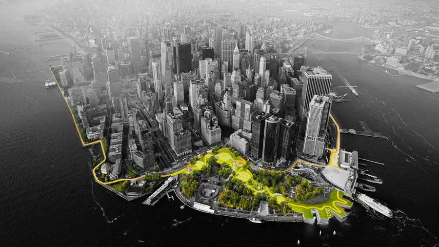
Above: precedent study— the Big U
We looked at the following projects as examples of successful Green Infrastructure and Resiliency projects. Both projects come from ONE Architecture.

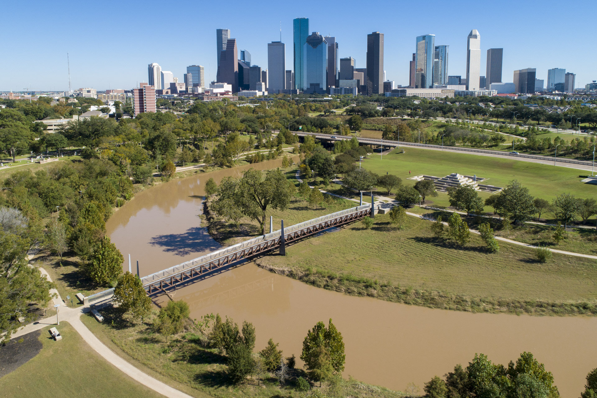
Above: precedent study— Islais Hyper-Creek.
2. Transit and Connectivity
One of the other challenges in the East Bottoms is the lack of connections to Kansas City and the surrounding areas. There are many natural and built barriers that create congestion within the site such as railyards, the Missouri River, and the bluffs of Kessler park. There is also a lack of safe pedestrian and bike paths within the site, and those that do exist are in poor condition.

Above: precedent study— Loop City
The studio examined BIG’s Loop City and the Atlanta BeltLine as examples of incorporating trails and connectivity in an urban environment.

Above: precedent study- Atlanta BeltLine
3. Urban and Cultural Promotion
As an industrial area that is also located in a floodplain, the East Bottoms has many problems with blight and neglect. Silos and railways surround the existing residential community which results in its isolation from the rest of the city. The volume of rail to vehicular traffic on East Front Street and the regional interstate dictates the internal street system, making way-finding difficult. Homelessness has also visibly risen in the area, with a large homeless population that takes advantage of the neglected spaces of the East Bottoms. All of these factors have kept small businesses and retail from settling in the East Bottoms which means that the 15,000 commuters that travel to the East Bottoms for work do not use the area for any other activities.

Above: precedent study- Superkilen

Above: precedent study- North Wharf Promenade
4. Adaptive Reuse
The East Bottoms’ continual use as a heavy industrial area that is isolated from major amenities, the building stock is crumbing. There are many abandoned buildings, overgrown parcels, and underutilized public amenities. As a result, lack of safety becomes an issue for those that may want to visit the East Bottoms.

Above: precedent study- SteelStacks
The studio looked at examples of projects that reused abandoned or underutilized infrastructure for different kinds of amenities.

Above: precedent study- Japanese reuse of overpasses
Stormwater and Sewer Management
The East Bottoms is a high risk area for water and sewer back ups during storms. Untreated sewage from overflows can cause serious water quality problems and health issues from pollutants. These overflow problems can also cause damage to the river, land, structures, and amenities within the site as well as the systems that are meant to take care of the runoff.
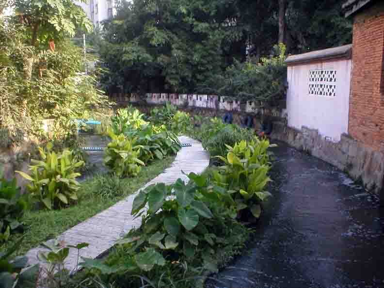
Above: precedent study- canal restoration projects
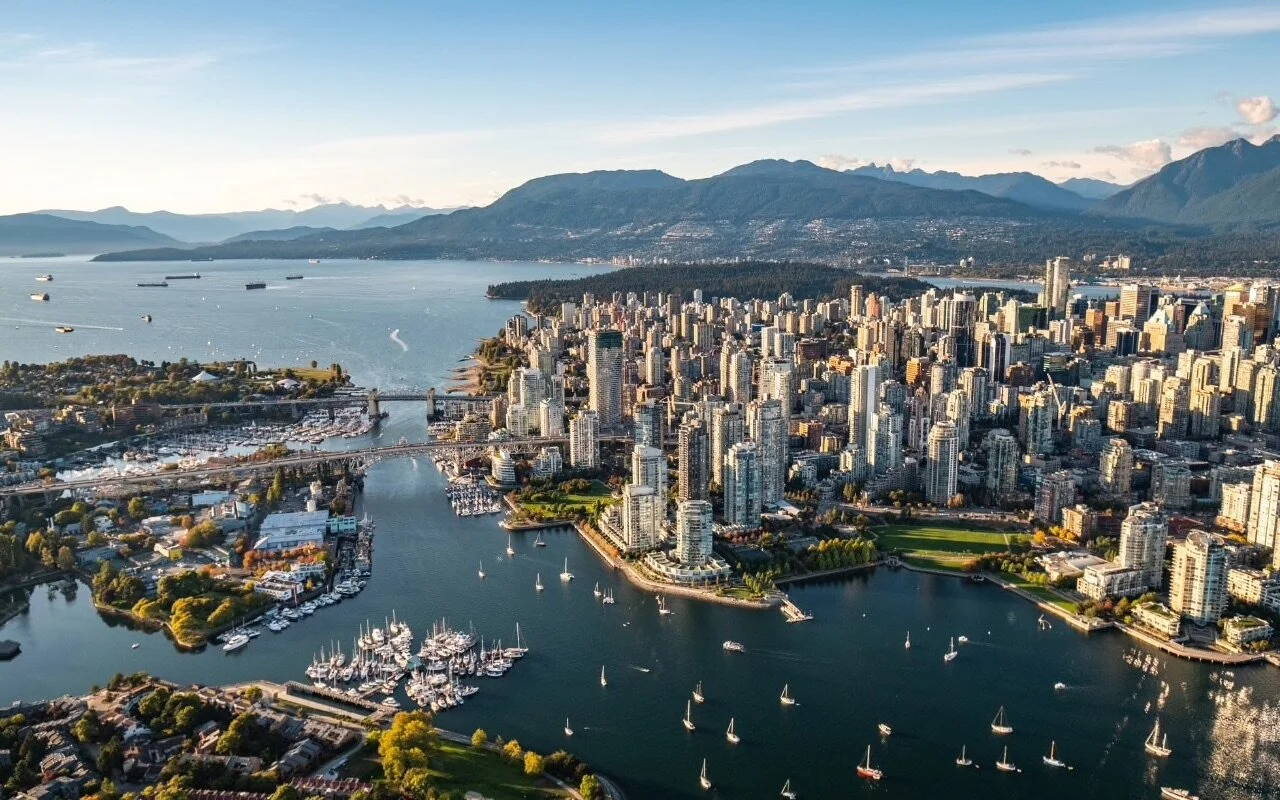
Above: precedent study-Vancouver green rainwater initiatives
Possibilities:
With the environmental challenges in the study area, we found it necessary to study other projects that had similar problems in order to brainstorm concepts. While looking for solutions, we wanted to make sure not to sacrifice the public right-of-way and the natural amenities that the site provides. With balance being a key factor, the solutions to the five focus areas revolve around sustainability and urban growth. We have also learned that design is not the only thing that revitalizes an area— other methods such as community engagement, tax incentives, and zoning will play a crucial role. We are now moving into the conceptual design phase of the project; we look forward to sharing our designs and findings in our next review!