
The KCDC is thrilled to announce that we were awarded the 2019 AIA Central States Regional Merit Award for our project West Bottoms Reborn: A Vision Study for a System of Public Spaces. We’ve been keeping it a secret ever since we found out in August and now we finally get to share! Vladimir and two former students that worked on the project (Fiona Bhuyan and George Aguilar) traveled to St. Louis this past weekend to attend the awards ceremony. To see more about the project you can visit the West Bottoms Reborn project page.

It’s been a busy two weeks at the KCDC! The studio made great progress on the East Bottoms Study and completed our first studio review. Leading up to the deadline we had three guests visit the studio to provide insight on sustainability and water/flood management in the East Bottoms.
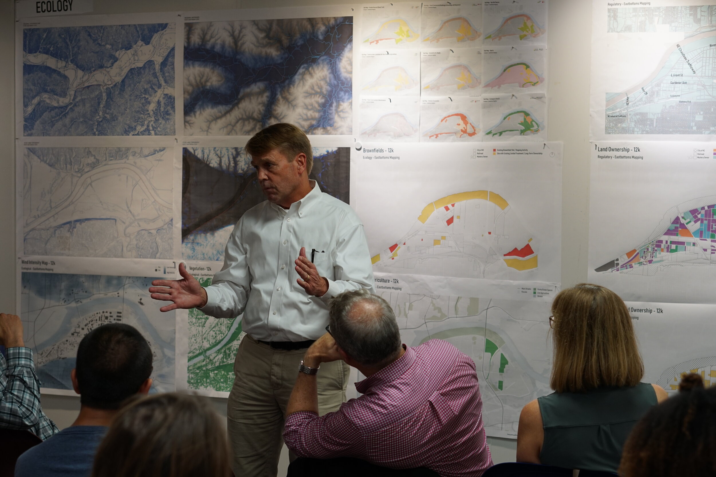
For our second pin-up of the year, we had the privilege to discuss our project with Lead Planner Bo Williams and Sustainability Coordinator Gerald Shechter with the City of KCMO and Green Infrastructure and Stormwater Specialist Andy Sauer from Burns & McDonnell. They provided intel on the growing use of wind power in western Kansas, the emergence of electric charging stations provided by KCP&L, and the importance of re-claiming surface parking. We also learned about the East Bottoms history as a flood zone. Due to its proximity to the river, the soil is primarily sandy and acts like a sponge. This presents some challenges for the visioning of the East Bottoms while encouraging the use of innovative green infrastructure solutions.

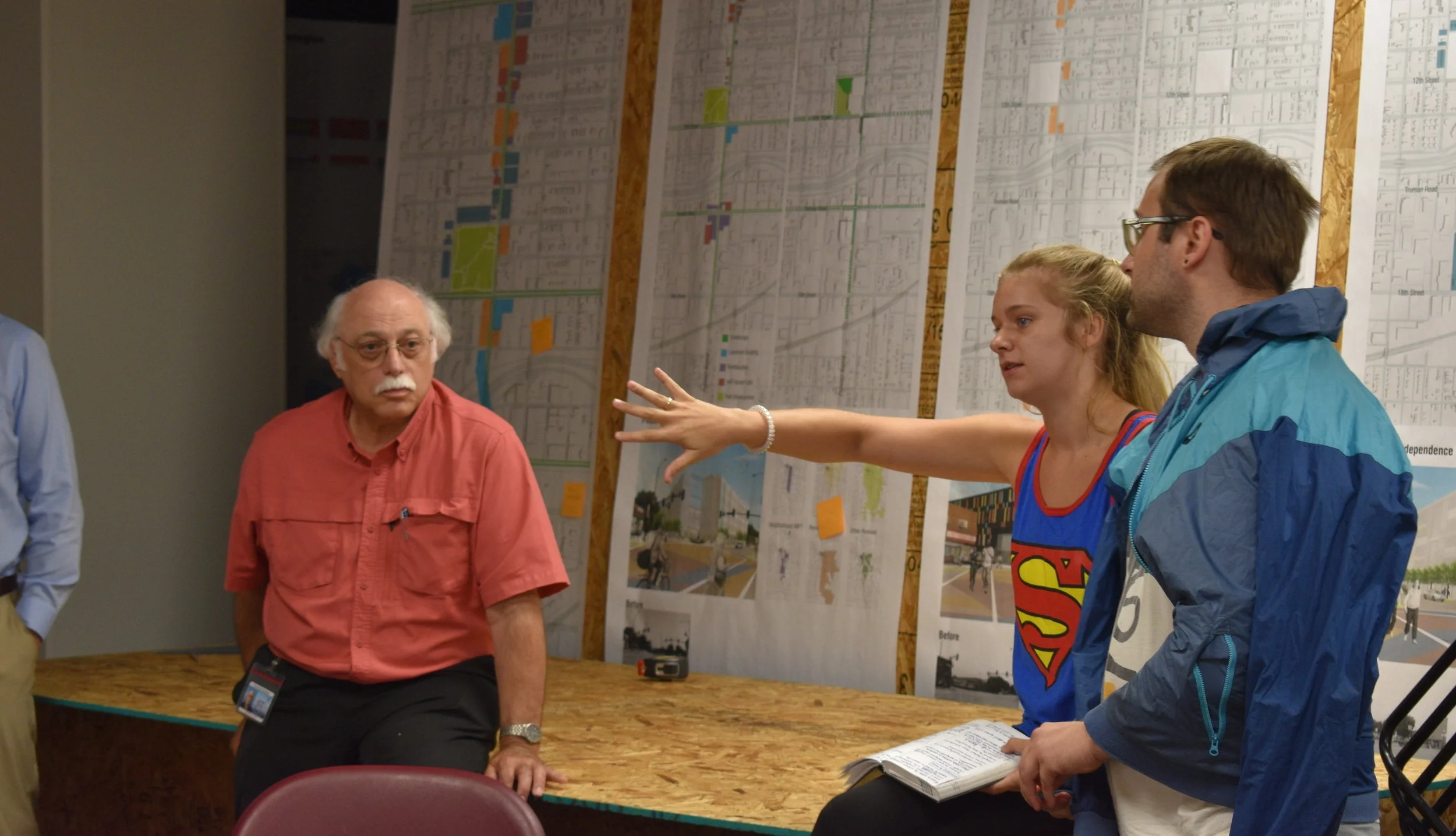

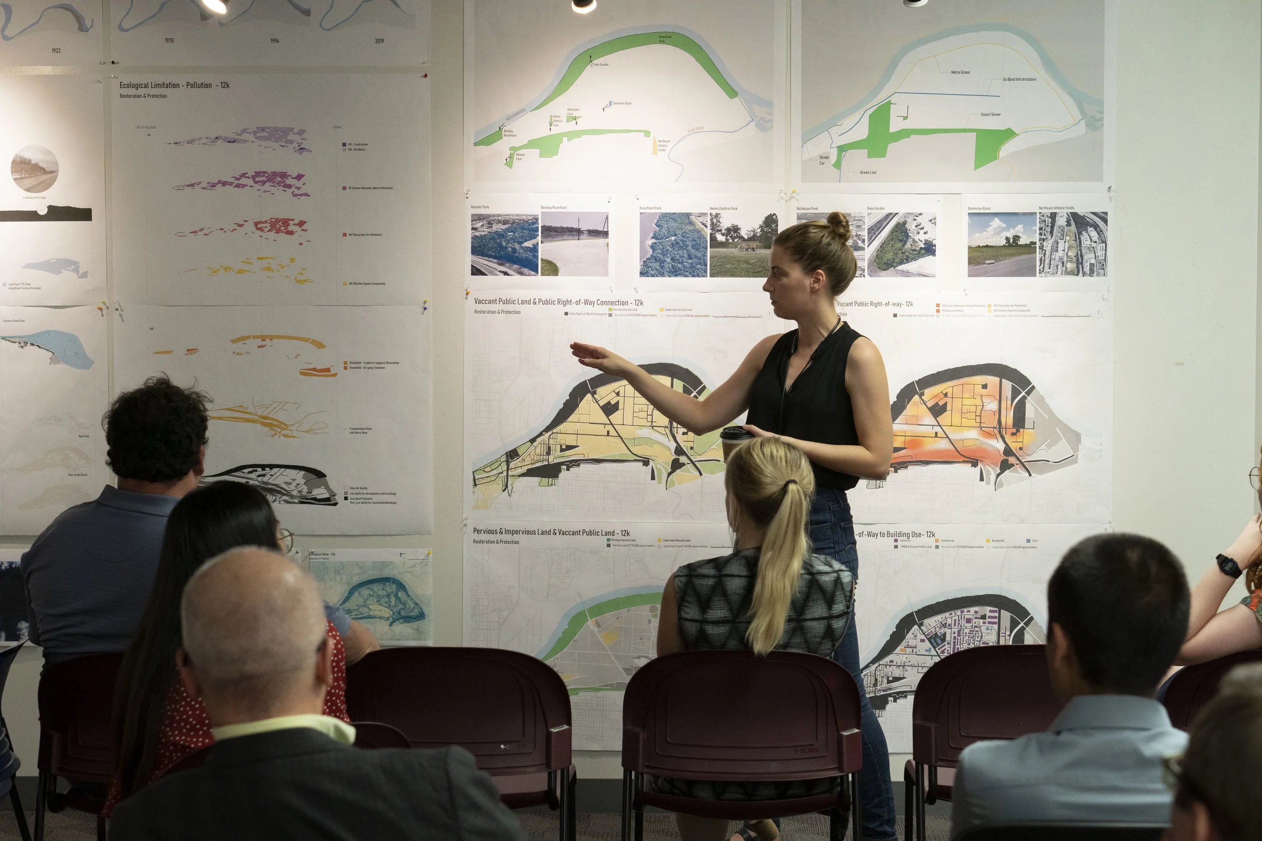
We had our first studio review last week and hosted Alyssa Parsons and Aaron Ross from BNIM, Tim Duggan from Phronesis, Lauren Cano from Vireo, and Regan Tokos from My Sidewalk. The studio introduced the project and discussed Urban Fabric, Connectivity, and Restoration & Protection. Each category was presented with a series of analytical diagrams developed from our inventory of diagrams created in phase 1 of the project. Urban Fabric focused on the identity of our site; responding to morphology, programming, site boundaries, and relationships to industrial businesses. Connectivity studied transportation volume and connectivity to natural amenities such as freight, trails, and the accessibility of city parks to the East Bottoms. Lastly, the restoration and protection category focused on ecological diagrams mostly consisting of air pollution and soil quality, river flow and sewage systems, and the regional watershed.


Following the review, the studio discussed the direction of the project and re-established its goals based on the feedback received during the review. We noted that the key challenges are the lack of coexistence for pedestrians and cyclists on roadways; limited or inconsistent way-finding; presence of gateways and railway barriers; and flooding/standing water on the site. As a result, our studio goal is to create a sustainable living system in the East Bottoms that encompasses a work, play, and living space while also embracing the existing characteristics of the area.


Lastly, on the coldest day of the week, part of the studio visited the site to gather more images of the public right of way and gateways in and out of the East Bottoms. With this information, we will be able to develop a better understanding of our site as we prepare for next Monday’s second project advisory group meeting!

Advisory Meeting #1
Our first advisory meeting was on September 11th, where we had the of sharing our findings with Joe Perry from PortKC, Tom Jacobs from MARC, Scott Brown from Faultless Starch, and Susan Brown from Platte Valley Bank. We received great feedback, information, and enthusiasm for the potential in this area.

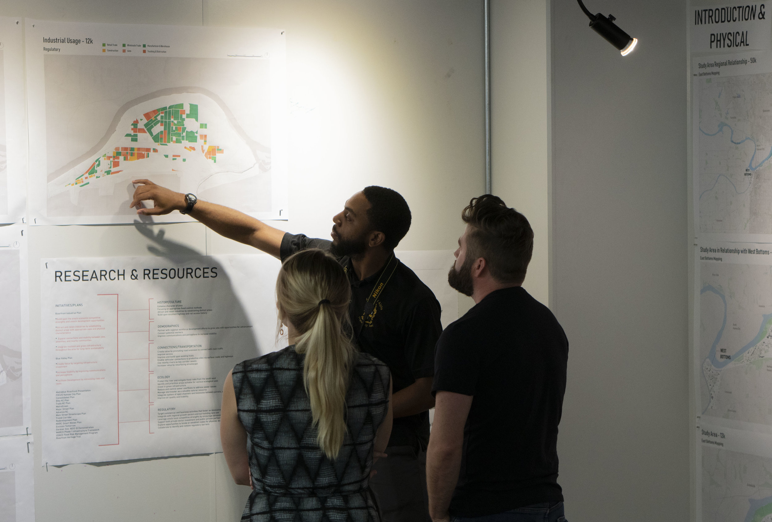
The studio began research by studying two main documents: The Riverfront Industrial Plan and the KC Blue Valley Plan. As we continue to inventory our research and data of this area, we have put our findings into five main categories: physical, history, demographics, transit/connections, ecological, and regulatory.


Physical elements— includes figure ground maps, parcel map studies, topography, and the creation of a new digital 3D model of the site.
History— includes how this area originally developed including over-time maps of railways and roads, the river, occupation density, and building type.
Demographics— includes information on the area’s race, age, schooling, and commuting statistics.
Transit/Connections— includes regional connections via rail and highways, local bus routes, bike and recreation trails, major connections/intersection points, dead-end streets, and high volume streets. We have also been looking into freight volume, ownership, and what is being transported to and from sites in the East Bottoms.
Ecological— includes vegetation, pervious vs. impervious land, levee placement, watersheds, brownfields, flood zones, current green infrastructure developments, noise and air pollution, and wind/sun studies.
Regulatory— includes zoning, land use, building use, land ownership, out of state ownership and incentives.

Land Ownership parcels

Topographic Sections 700’ apart
Findings
From our research, we are starting to discover the distinct characteristics, challenges, and geographic roots specific to the East Bottoms. The character of the site includes a strong industrial fabric, heavy rail use, and disconnected way-finding. We believe this area has great potential and we are interested in finding ways to link the major thoroughfares in and out of the East Bottoms that employees can utilize and that minimize industrial traffic, reclaiming spaces that are currently unusable. The resulting efforts would develop a ‘Kansas City’ urban design model that looks at abandoned spaces to be utilized as continuous public realm.
Lastly, our project is live on the website! Check out the project page here. We’ve got drone footage coming and will be updating our findings as we continue the project.