With the continued development of the Covid pandemic, the studio hasn’t met in person since the beginning of March but the East Bottoms Project is still constantly advancing. The studio adapted and remote communication has not become an obstacle for us. Using a variety of communication platforms and programs has helped us continue our work, and in some instances has streamlined our process and made us more effective.


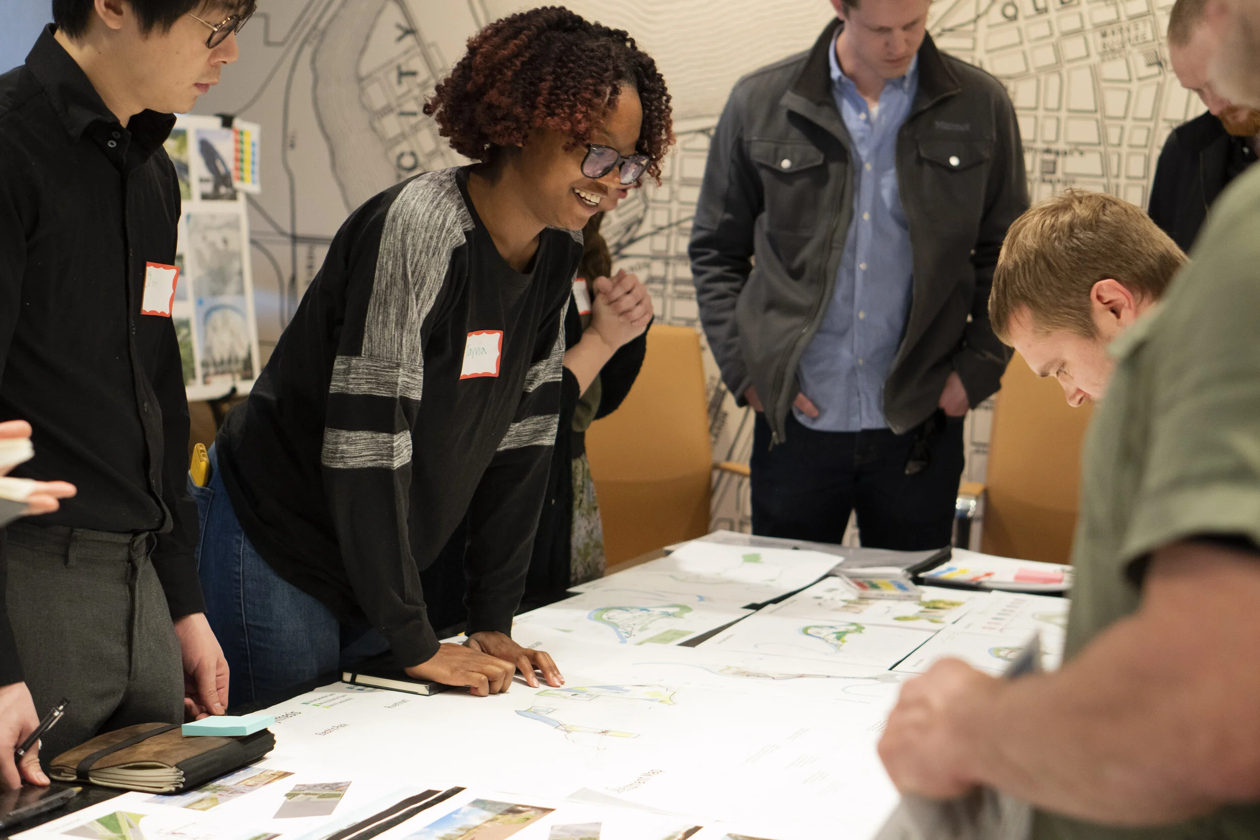
Kansas City’s ‘Stay at Home’ order hasn’t stopped our reviewers enthusiasm for participating in the meeting— we had our last project review and and project advisory meeting of the semester this week. We are grateful for all of our advisors that have taken the time to give us valuable advice.

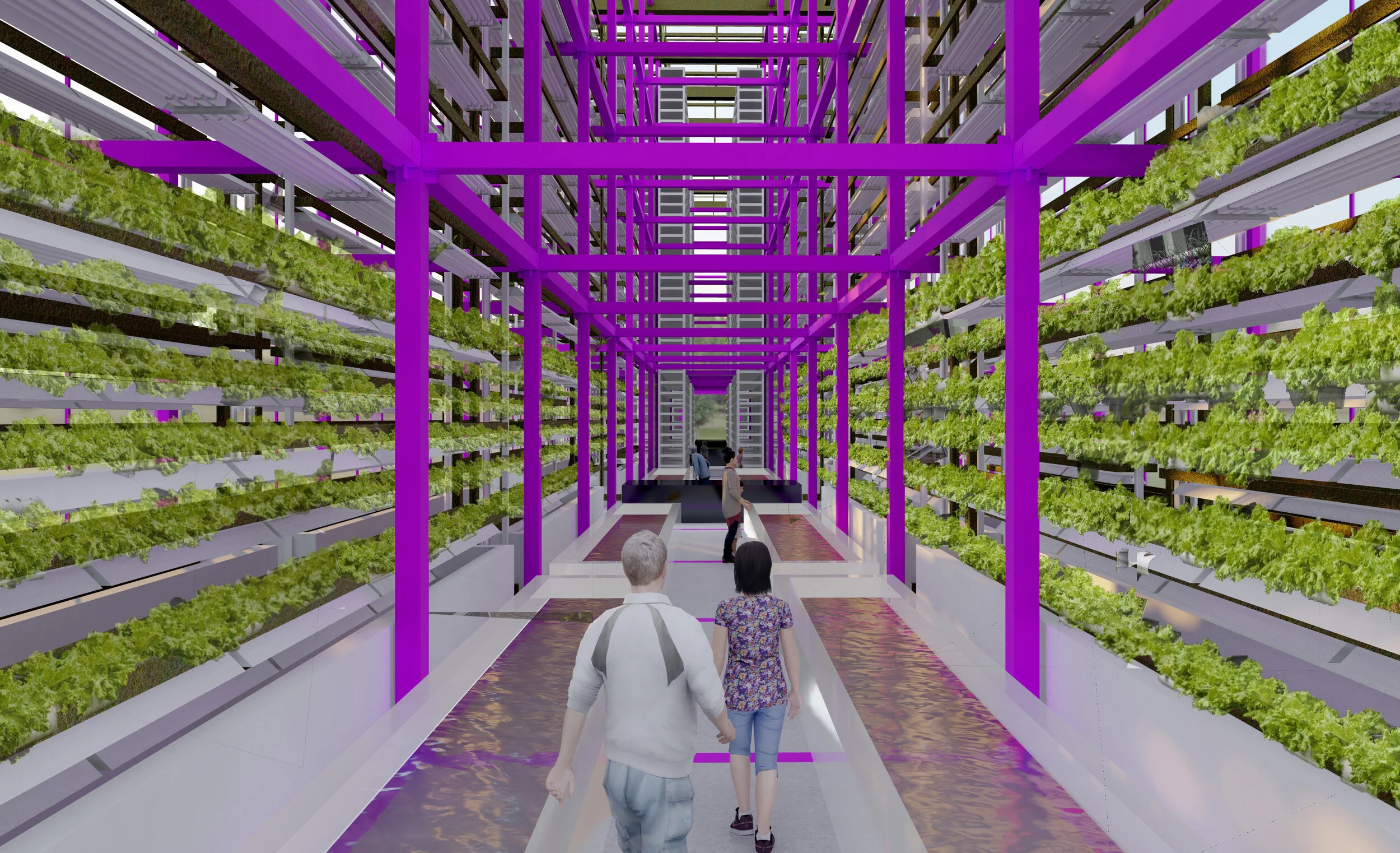
Above: axon of Greenhouse elements, renderings of interior of greenhouse and approach the greenhouse.

During the meeting, each group received feedback on their section of the site. The Trail System proposal has become more detailed, particularly in developing a green house landmark which utilizes vertical farming to allow the site to grow more produce in a smaller footprint. In fact, one acre of indoor greenhouse space offers equivalent production to at least 4-6 acres of outdoor capacity. We found that growing leafy greens hydroponically is the most profitable operation because it has the lowest operational cost per square foot.


Above: two examples of the Riverfront Park during different flood networks.
The Riverfront Park group has proposed the creation of more pronounced topography and a constructed edge in order to introduce different habitats and water levels that the public will be able to experience. The connections between Chestnut Trafficway and the Riverfront have also been strengthened to encourage visitors to travel between the two sites and eventually to the rest of the site. For example, the Working Landscape group, which is the eastern part and least accessible section of the East Bottoms, is becoming more accessible with the incorporation of the trail system.

Above: Rendering of the trail bridge in the working Landscape section, spanning a retention basin.
As we continue to develop more details of the project, we are also understanding different elements that impact people; such as lighting, wind, and topography, and how we can use these elements to provide users with multiple experiences while also protecting the environment. We are confident that we can create a proposal that benefits both the industries in the area and the public of KC. This project has the guidance of advisors and reviewers with a vast amount of knowledge that has made our proposal more realistic, resilient, and innovative.